Resources
Material produced by our group that may be useful beyond our own research.
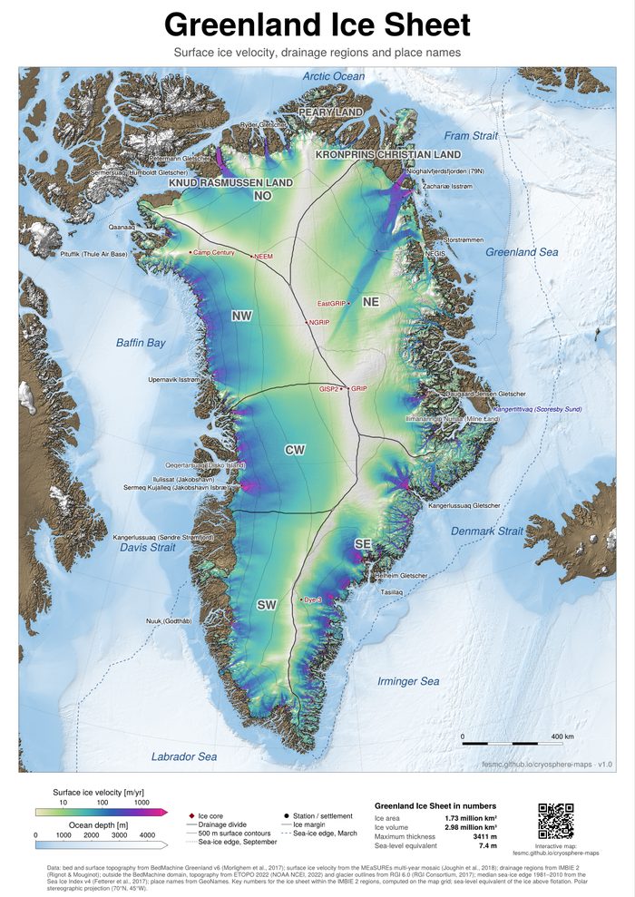
Cryosphere maps
Poster maps of the Greenland and Antarctic ice sheets, showing surface ice velocity over shaded topography, drainage regions, the sea-ice edge and place names. The collection also includes maps of the Northern Hemisphere and Antarctic ice sheets at the Last Glacial Maximum, as well as vintage-style maps with expedition routes and wildlife. All maps are generated from published datasets with Julia and CairoMakie. The website provides interactive versions and printable posters in A0 format.